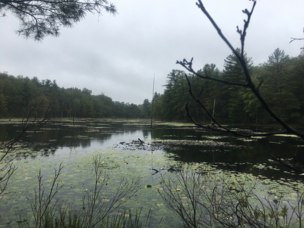
The “Blue Lagoon”

It’s been far too long since I wrote about my travels here, and there are lots of awful reasons why that is.  Rather than waste time talking about how I should have written more, I’m going to jump right in to my next post.

At the end of April, over a year into the pandemic, we took a small family “camping” trip in Sturbridge, our (new) home town.  We love to stay in cabins when we camp — you can enjoy that outdoor, campground feeling, but never have to worry about putting away a soaking wet tent, or dealing with the maintenance on a camper.  For the number of times we camp each year, paying extra for the cabin just seems like a smart deal.

A new place had just opened up in Sturbridge at the site of the old Jellystone campground.  We stayed at Jellystone a few times back when we had a small camper, and we didn’t love it.  It was fun but felt beat down, and the seasonal-led culture didn’t mesh well with our family trip vibe. 

This new campground, run by the imaginatively named “RV Management Services” goes by Pine Lake RV Resort and Cottages.  It actually has no tent sites, just 55 cabins and a bunch of RV spots.  And while it has a small lake on site, I think most people are probably picturing something a bit more rural when they talk about a Pine Lake.  Still, that many cabins meant we weren’t fighting for a cabin spot.  We ended up with one of the lakefront cabins for our two night stay, a perfect way to test out a new spot close to home for a (slight) change of scenery.

We decided to take a hike on the chilly, blustery, sunny Friday of our trip.  There was a set of trails nearby we hadn’t explored, and we’d seen some recent Facebook posts talking about a “blue lagoon” off those trails.  The trailhead (at Shattuck Rd) was less than a mile from the campground, so we took a quick drive and headed into the woods for some exploration.  We’d done some of the other trails in this network (Leadmine) over the years, but we hadn’t been through this new section which opened within the last 3 years.

I have a soft spot for how this trail started — a descent into the woods on what was once an asphalt road.  There’s something about an overgrown, crumbling remnant of an asphalt road that makes me think of how fleeting some of our impacts are.  I think back on decades past when cars drove on what is now a footpath.  Decades from now, what will be different?  Who can say?  There is some of this nearby in Opacum Woods, and I’ve also gotten similar vibes hiking out in Western MA years ago. 
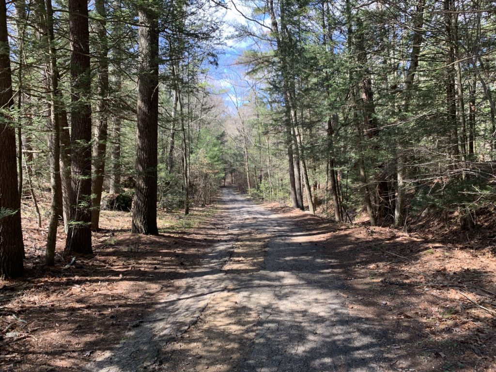
Our hike started in the morning and while the trails weren’t empty, we had plenty of space to appreciate our environment without running into too many other people.  We saw a couple people with their dogs, some individuals hiking at speed, and some couples out for a stroll. 

We had a rough idea of where we wanted to go, but hadn’t really researched it.  Faced with our first decision of the day, we headed north along the Arbutus Park loop.  It was an easy walk along a wide trail beside a small stream.  Turns out, this whole area had been a camp and the stream had been dammed up to make a swimming and boating area.  Now, the dams were destroyed and the area was being returned to its former natural state.  Signs spoke of hope for a return of brook trout here, and that put a smile on my face. 
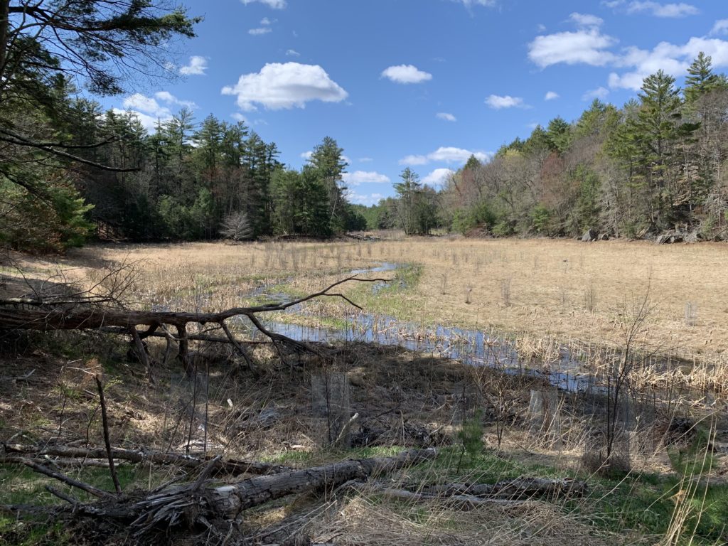
We admired the newly wild areas near the stream and Evie followed a snake around for a while after disturbing his rest in a sunny patch.  I stepped down from the trail to the stream and enjoyed a bit of relaxation as the water bubbled over rocks and downed limbs.
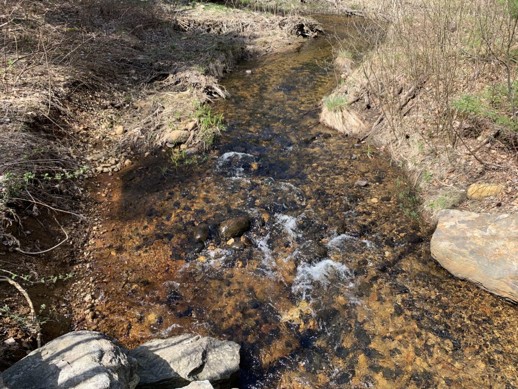

We continued along the trail, passing right by Old Sturbridge Village’s solar farm.  We had thought we might see the famous lagoon along this section of the trail, but we had clearly miscalculated.  A path to our left promised a rigorous hike along the Knife’s Edge, and that sounded like fun.  We headed that way and were rewarded by some mildly challenging switchbacks and steeper sections. 
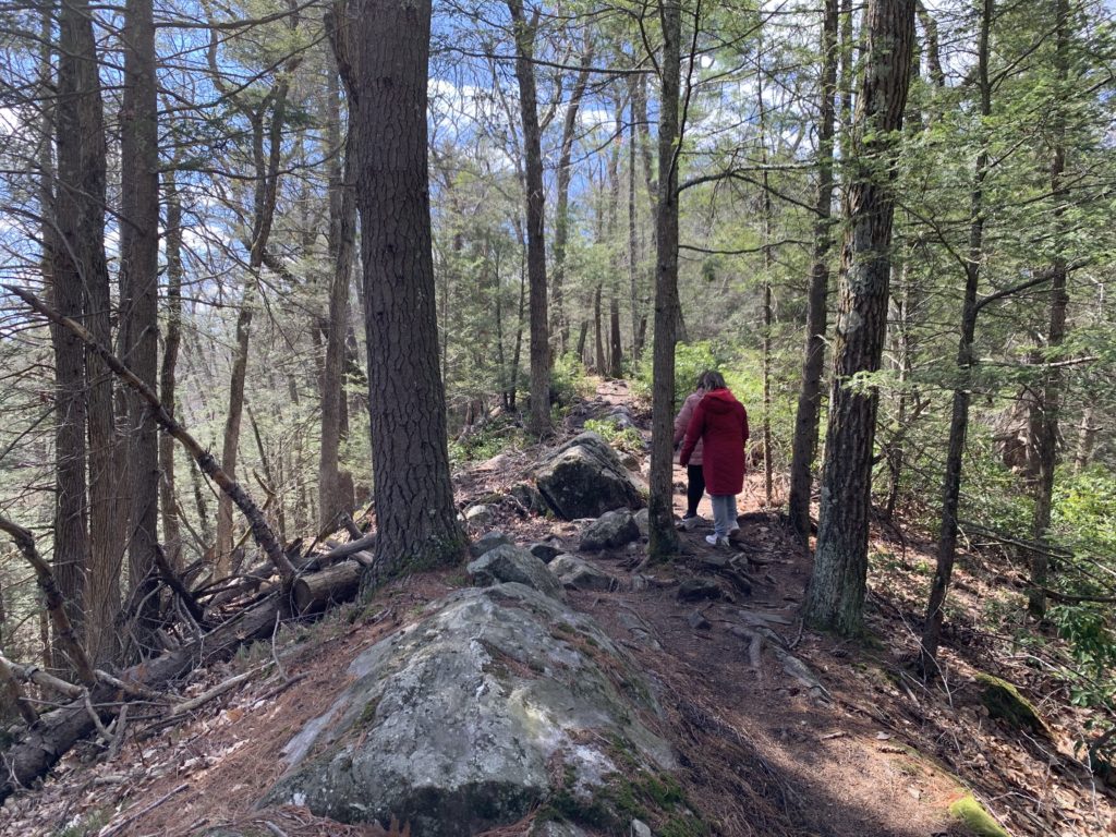
This path yielded some nice views and some more isolated natural feel compared to the abandoned road feeling of some part of the main trail. Descending from the high point of that trail, I started to feel my age (and lack of fitness).  My feet and knees were starting to feel a little beat, but I knew how short this trail was and was not concerned.

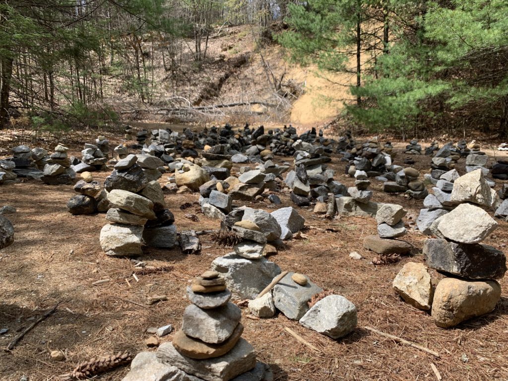
We ended up back on the main loop and stumbled onto a massive clearing where dozens of cairns had been set up.  We admired the view and took some photos before moving on.

Then, we saw it — the fabled Blue Lagoon we had heard rumors of.  This pond was spring fed and crystal clear.  The sun kept slipping behind clouds, but every time it came out, the azure gem of the pond would astonish us.  We slowly skirted the pond along the trail and paused when we saw a beaver across the water from us.  We walked down to the water’s edge and watched him for a while.  He slipped into the water and paddled around a bit before making a big splash and then returning to the shore where he groomed himself.  We watched until a group of young children with a single adult arrived, and we decided to leave so they could enjoy the view without us there.
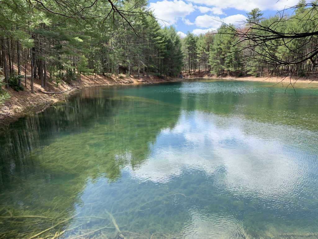
After a leisurely stroll around the Lagoon, we realized we were back where we had begun — that first “should we turn North or South” moment of the hike.  It was an easy stroll back to the car, and then off for a hearty lunch.  We enjoyed the rest of our short weekend “away” but definitely want to get back to this trail system.  There are plenty of sections we haven’t explored yet.

Plimpton Forest (and a bit more)

Some news to start: next month I’m heading on a three night, four day hike through the White Mountains of New Hampshire, staying overnights at the High Huts of the White Mountains with some friends from work. So I’ve been gearing up and doing practice hikes as often as I can.  I have yet to do a real tough mountain hike (I plan to hit up Wachusett before the hike, but am not sure when I’ll make it happen), but this Labor Day I wanted to hike several days in my hiking boots to break them in and make sure I shook out any issues.

I had Friday off, so I started with a solo hike on a piece of property newly acquired by the town of Sturbridge, the Plimpton Community Forest.  The forest was a big win for open space advocates in the area, as numerous sources of money had to combine to make up enough to buy the land rather than letting it be developed.  It’s located next door to Hamilton Rod & Gun, where I’m a member (the club and its members were instrumental in getting the land protected), and also connects to two other open spaces (Wells State Park and the Wolf Swamp WMA).  It creates (or, perhaps, preserves) a continuous tract of open land, great for outdoor recreation as well as wildlife habitat preservation.

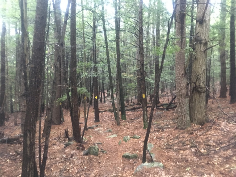
There are no trail maps for the property yet, but I knew that volunteers had marked some trails two weeks prior, so I went in search of those.  There are two trails on the property right now, one marked with red blazes and one with yellow.  The red trail starts up a fairly steep hill, and is obviously along an old road in some spots as it’s fairly wide.

The trail goes through some sections which have been logged but also trails along some beautiful old stone walls.

There are also some muddy parts, which I’m guessing will be quite marshy in wetter weather.

The red trail was clearly marked and easy to follow, and it was obvious when it ended. Signs marked the property boundary, and according to my GPS I was close to a stream crossing which would have put me on private property.  I followed the red trail back and then followed the fork which was the yellow trail.

The yellow trail was much narrower and windier, with some slightly challenging terrain in spots.

The yellow trail goes through some open areas which are beautiful and peaceful (there were no real sounds of neighboring roads, a nice treat for such a close-by trail).  I quite liked the lone boulder seen below.

The trail started to narrow significantly and eventually the markers disappeared. There was no sign that the trail had ended, but there were no more blazes and no path to follow. I believe there is more work to be done here.

Doing both trails added up to about three miles of peaceful hiking.

But … that wasn’t enough.

The next day, Jessica and I took a short hike through the woods at the Rock House Reservation, a favorite of ours for many years.

And the day after that, in fairly steady rain, I took a solo hike through Opacum Woods, a beautiful property I’ve explored plenty of times.  It offers a variety of terrain types, interesting things to look at, and the trails loop instead of being out-and-backs.  The only complaint I have about Opacum is that it’s directly next door to one of the busiest interchanges in the state (I84 + I90) and the highway noise is constant.  As the trails here are fairly simple, I won’t narrate the whole hike, but I did the full loop and the highlights are below.

(Note, my waterproof hiking boots were fine in the rain, but my water-“resistant” jacket failed miserably.)

And as if that was not enough, after three straight days of hiking I went for a fourth day of outdoor activities with a long kayak trip with a friend.  We hit Quaboag Pond from the south and fought the wind and even did a bit of fishing.

Four days off from work, and four days of vigorous outdoor activity.  I can’t complain.  Even if I wasn’t training for a big hike next month, I’d be enjoying this, but knowing it’s getting me ready for this adventure, it’s even more rewarding.

Grand Trunk Trail to East Brimfield Dam – Sturbridge

It seems a recurring theme that we don’t have as much time to explore the trails on our Saturdays as we used to. Real life conspires to sap away even our protected time.  And so last weekend we again found ourselves looking for a close hike which wouldn’t take up too much of our time.

We ended up driving towards one trail and stopping at another; we saw a parking area on Holland Road in Sturbridge with a Friends of Sturbridge Trails sign on it, and decided to see what it was.  It turns out, it’s a somewhat new extension of the existing Grand Trunk Trail.  This section walks along the Quineboag River to the East Brimfield Dam, and will eventually connect into the Brimfield section of the trail.

004

The trail is also labeled as the Trolley Line trail, or similar wordings.  There were two different rail lines through this section, the uncompleted “Grand Trunk” line and a functional trolley line.

009

The trail goes along the river quite a bit and might provide a nice way down to do some fly fishing (in fact, we saw an angler with waders on close to the trailhead).

019

We paused at a lookout and posed for a snapshot (as we often do).020

The trail continued along the river for a ways and eventually exited on the Army Corps of Engineers property for the East Brimfield Lake.  We’ve explored this dam area many times, including a couple fishing trips, so it wasn’t overall new to us.

029

023

However, standing atop the dam, we saw a path down below which crossed the river and clearly explored a little bit of the property we hadn’t been to before.

027

We walked down this way and were rewarded by the sight of a blue heron perched at the water’s edge looking for a meal.

034

We walked a bit more along the water on this little path, and took in the fall landscape with the soothing sound of the water nearby.035

036

It was a shorter walk than we had planned, because the map showed trail portions that weren’t yet complete.  Once the trail connects fully it’ll be a great showpiece for this section of the state.  For now, we can explore it bit by bit.

Getting back into the swing of it

Over the summer, our hikes were tough to manage.  Without gymnastics blocking out the time, we either had to hike as a family, or hike when Evie was otherwise occupied, which wasn’t often.  Given the heat and the bugs, we didn’t get out nearly as often as we had hoped.

But Fall is here, and with it comes cooler temperatures, fewer bugs, and a renewed presence in gymnastics for our little bundle of energy.

So we’re getting back out there.  Over the last few weeks, when we’ve been able to, we’ve made it onto trails.  We visited Heins Farm again (just about a year after the last time) as well as the South Spencer Rail Trail (which I last visited in December).  We didn’t snap a lot of pictures, and I don’t really have much to describe in terms of a blow-by-blow, but it was good to get back on the trail.

015 021 034 035 917

(Family) Wells State Park – Sturbridge

Summer vacation means more family time, and we used that time at the start of July for a hike at Wells State Park in Sturbridge.

I’ve written a few posts in the past about hiking here; it’s a massive property with fairly long trails, and it’s possible to get over 6 miles of hiking in a day fairly easily as I demonstrated in a prior post.  But this hike was a shorter journey, with our daughter dragging her feet a bit (perhaps because nothing is quite as fun as exploring Purgatory Chasm!).

Once again using our State Parks Pass, we parked at the front entrance and made our way on foot around the paved path.  We exited the path to explore Mill Pond Trail, which I think in the summer probably should be renamed Mosquito Trail.  It almost soured us from the trip; even with bug spray it was a constant battle to keep mosquitoes and other insects off of us.

Eager to rescue the expedition, we promised Evie some interesting “climbing” and turned our attention to trying to reach Carpenter’s Rock.  Away from the Pond Trail the bug situation decreased to something livable (though it was still a bit painful at times).

002


Evie found a toad along the way, which kept her entertained for quite a bit.

003

We reached the top of the rocks and paused for snacks and refreshments.  With the toad, the snacks, the lack of bugs, and the view, Evie’s mood improved drastically.

005

It helped that Jess found a snake!

055

We paused for a couple selfie (Evie refused to pose with us!).

053

But Evie was fine posing with her toad….

050

We departed the cliff and returned back the way we came, but then took the long way around (via the paved road) so we could check out the camp sites.  In the end we put in a bit over 3.5 miles.

012

It’s a beautiful park and I look forward to many more visits here, though I think we’ll stay off the Pond Trail in the summer.