Sibley Farm – Spencer

This is our second trip to the Sibley Farm property.  The first trip is described in a previous post.

It was a beautiful day to be outdoors yesterday, as far as winter days go.  The cold temperatures didn’t seem too bitter since the skies were clear and the air was calm.  With errands to run we only had a short window to enjoy the outdoors, so we returned to Sibley Farm to explore some of the trails we missed two weeks ago.

007

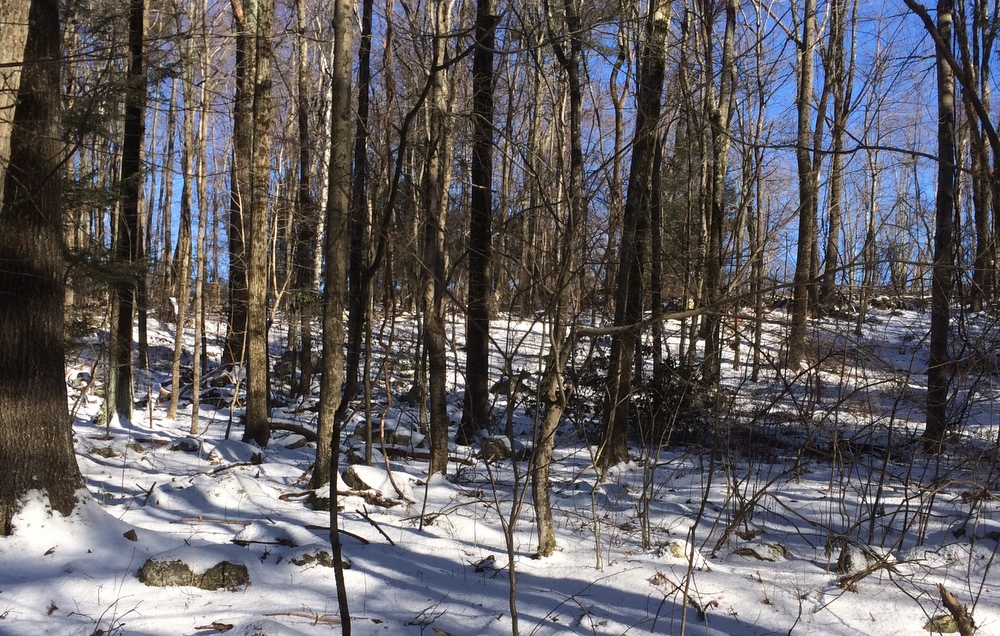
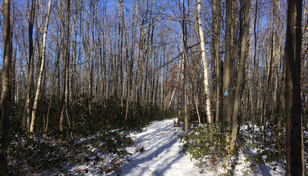
This time, we forked left from the parking area instead of right, and followed Sibley Trail (as seen on the map).  The trail is well marked and immediately settles into a light forest marked with occasional stands of mountain laurel.

011

The snow covering the ground made for pleasant views in all directions, while still being light enough that we could easily walk it in boots without needing better equipment.  A few others had been on these trails recently but the further we went from the parking lot, the more we were breaking ground ourselves instead of following directly in others’ tracks.

012 014

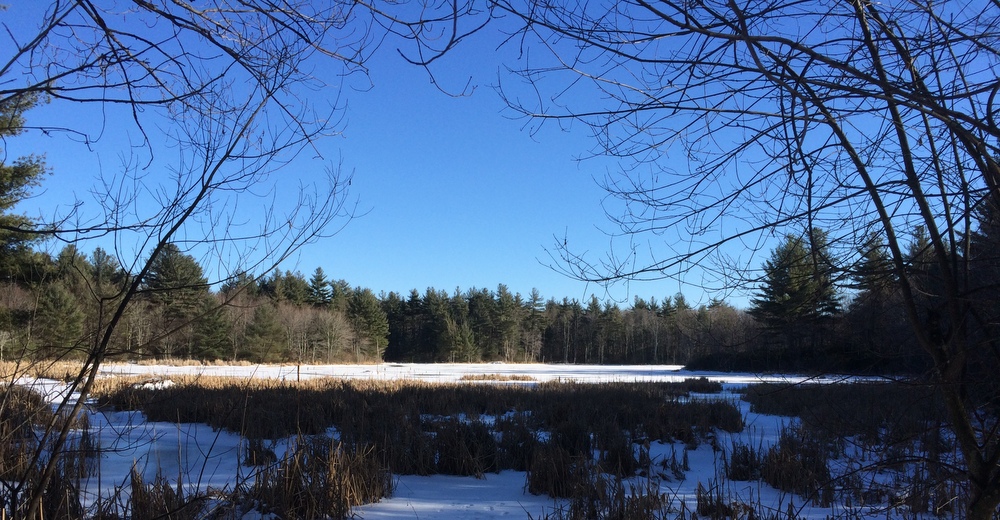
The terrain was quite uneven, and we took a steep descent towards the “Otter Pond” marked on the map.  We weren’t too excited about having to make this climb again, but what goes down must come up….  We paused to take some pictures by the pond before deciding to turn around here to avoid any issues with being late to get our daughter from gynmastics.

017

We returned the way we came,starting back up the hill we had just descended.

027

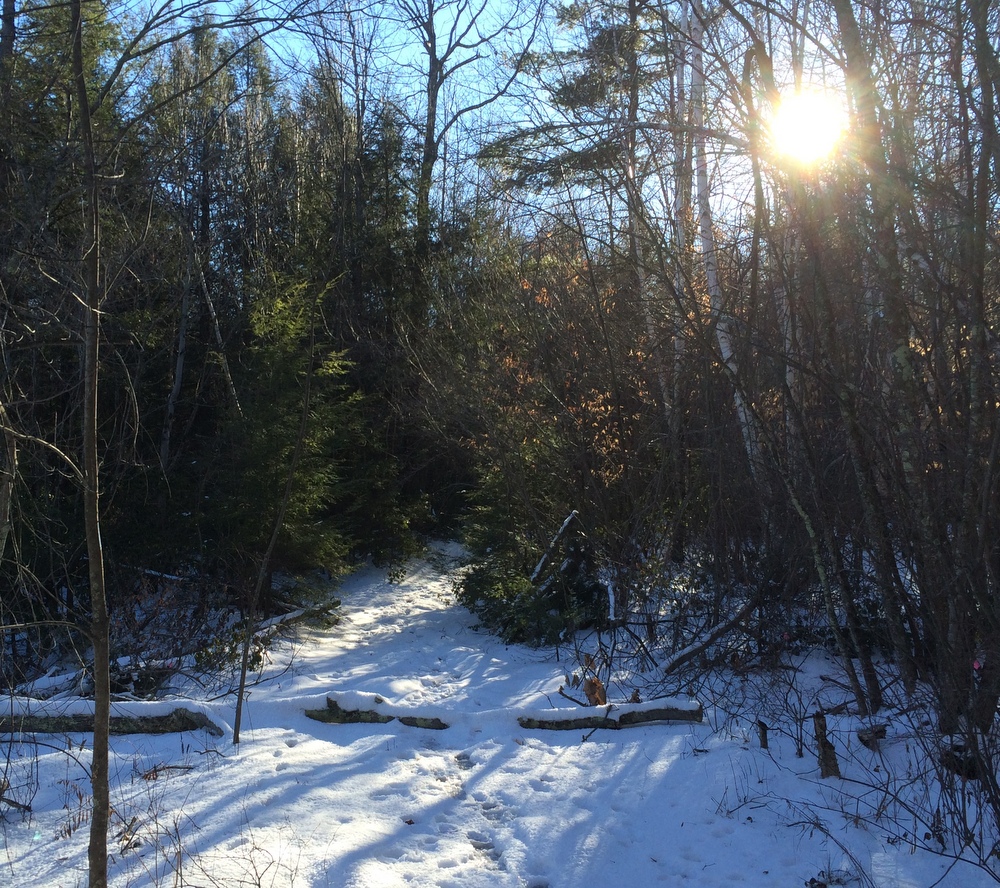
Then, we forked off to check out the large open fields marked on the map.  To do this we took first a detour onto the Bobolink Trail and then connected to the Midstate Trail. The Midstate walks along two large fields atop the hill here, making for a much different view.

031

We walked along these fields for the last part of the hike, and then headed down some hills back to the parking area.

036

It was nice to revisit the property with snow on the ground and to take a completely different set of trails than our previous visit.  We only covered a bit over two miles, but it was refreshing and invigorating to be out in the woods again in the crisp clear air.

Grand Trunk Trail – Brimfield

With several inches of Wednesday’s snow still on the ground and no snow-specific gear, we targeted a nice flat well-traveled trail for our post-Thanksgiving Saturday hike.  We chose the Grand Trunk Trail in Brimfield (also known as the Brimfield Trail and the Titanic Rail Trail).  We’d done this trail over the summer with our daughter on a day of exploration and geocaching, and knew it would be passable in boots without too much trouble. In the summer we saw tadpoles, rabbits, and snakes — this time, not so much.

The history of this trail is interesting; the Grand Trunk Railway wanted to create an extension from Montreal down to Palmer MA, and then over to Providence RI.  When the railway head died on the Titanic, expansion plans died with him, leaving significant chunks of land set aside for the railway undeveloped (or used for trolley lines).  Years later, this land would be turned into a rail trail, with the eventual goal of connecting Franklin MA and Palmer MA.  For now, trails in Brimfield, Sturbridge, and Southbridge exist, and need to eventually be connected and extended.

We started our hike at the parking area near Five Bridges Road, a rural dirt road in Brimfield.  As has become our habit, we took Jess’s 4WD SUV and were glad of it when it was time to park in the snowfilled parking area.  We started heading west towards the trail’s current end point at Route 20 in Brimfield.  The trail is broad and flat, and walks through beautiful forested wetlands.

003

The trail had been heavily traveled since the snow, with abundant boot tracks, dog tracks, and cross-country ski tracks.  We were able to handle it in our boots just fine.

004

006

We continued west along the trail, with the intention of forking south to check out the Siog Lake Bypass (into Holland), but we misread the map and ended up taking some minor side trails instead while continuing towards Route 20 in Brimfield.

We snapped plenty of photos of the wooded section of the trail, but there’s not much to say about it; it’s a beautiful area, flat, and easy to traverse.

008

014

015

After a while, though, the trail enters the section of Brimfield which was devastated by the 2011 tornado.  In this area the trees are all down, and the view is stark.  It’s an impressive and sad contrast.

022

On the other hand, the wide-open area is beginning to fill back in with the kind of growth that isn’t seen in the more forested area, and some of the opened-up views can be beautiful.

016

019

After about a mile and a half, we turned around.  We were on a bit of a schedule and wanted to get home in time to do some holiday errands.  We were happy to leave the flattened area and enter back into the wooded paths.

024

We made good time getting back to the car and continued a bit east past the parking area.  Here the trail leads into a marsh area where the Quinebaug River winds through.  The views here were completely different, including some recent beaver damage.

026

031

It was here that we had a somber moment of reflection; in a beautiful spot within sight of the river a lone pink cross stands in the ground.  There, in October 1993, the remains of 10-year old murder victim Holly Piirainen were found. Her murder remains unsolved, and just as with Molly Bish there are frequent reminders of the unsolved crime seen around the area.  Especially so close to Thanksgiving, it was a sobering reminder of how thankful we are for our family, and how many are not as fortunate.

It was with this in mind that we took the short walk back to our car, returning to the wooded section of the trail and wrapping up a 3.5 mile excursion in the first real snow of the year.

037


(Solo) Miller Forest Tract – Monson

This past Saturday, Jess was out of town with her mother, so it fell to me to take Evie to gymnastics and then fill a few hours on my own.  I made two important choices: I was going to pick up some beer, and get a hike in.

After packing a lunch, I first dropped off some growlers at Tree House Brewing in Monson.  Tree House is a world-class brewery which I’ve been following since they first opened in a barn in Brimfield in 2011 (they were brewing a test batch when the famous tornado struck; you can read about it here).  They’ve gone from being the area’s best-kept secret to being listed as the brewers of the world’s best American IPA by Beer Advocate. If you’re at all a beer fan, it’s worth seeking them out.  It’s worth browsing their site just to see their great beer photography.

With a few hours to wait before my growlers would be full (not so secret any more!), I had plenty of time to go for a hike.  Since I was already in Monson, I decided to return to Peaked Mountain, this time visiting the nearby Miller Forest Tract instead of the primary mountain property.  I chose this property because knowing I was “on the clock” and alone, I wanted a place with clear trail markings and known terrain.  As always, the Trustees of Reservations came through.

011

It was a chilly day. Some light snow had fallen recently and the temps in the shade were not really getting above freezing.  It was a good chance to try out my new Merino Wool socks (they worked great, by the way).  The trail begins alongside a huge field that borders the yard of a neighboring home.

016

I started by heading into the woods on the Forest Loop, and then continued along the Lunden Pond Loop.  The trail starts out wide and flat, an easy and well-traveled trail.  I saw plenty of evidence of recent hikers and dog-walkers on the first part of the hike.  Where the sun cleared the trees, the snow was gone, but in areas of denser shade the snow remained.
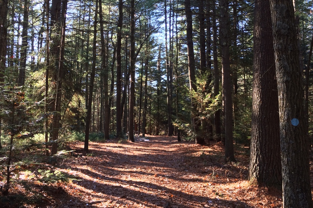
022

Lunden Pond is a beautiful spot; I was wishing I had saved my picnic lunch to eat here instead of at the car.  The trail first crosses over a small “arm” of the pond.  Here, the pond was enough in the shade that ice was beginning to form (you can see it below).
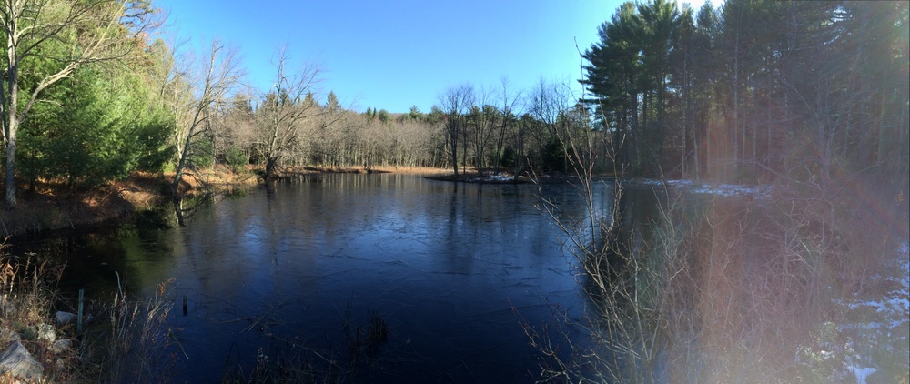
035

The trail then continues around the pond, and I paused frequently to admire the scenery and take pictures.

048

Others were doing the same; I saw several families, couples, and others all enjoying the sunny crisp day.

052

After looping around the pond, I cut over onto a less-traveled area of the tract, the Temple Brook Loop and Ridge Trail.  Things quickly got narrower and steeper, with much less evidence of human or animal traffic, but the trails were still easily navigated and clearly marked.
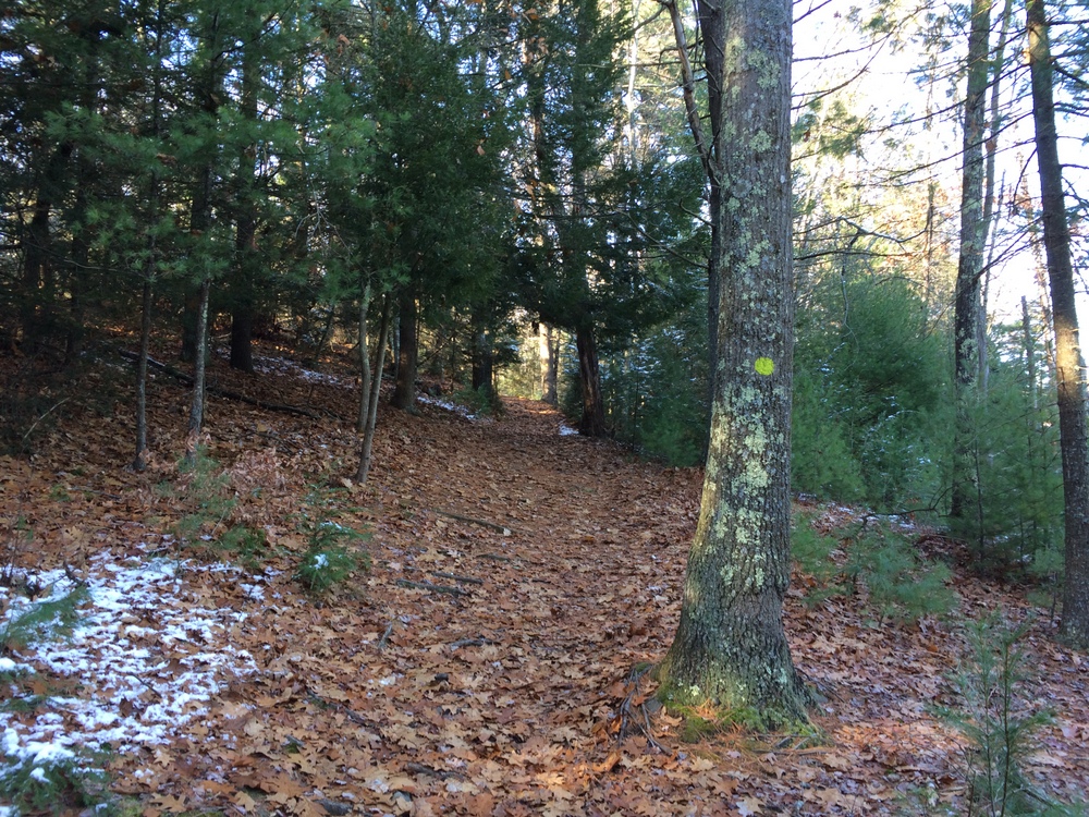
059

The trail went through some shaded areas which still held the weekend’s earlier snow, which made for some striking contrast to the sunny open areas near the pond.
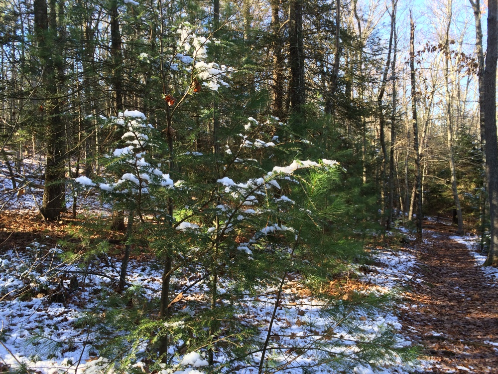
063

I try to remember to look up periodically, especially in the woods.  I remember reading once that happy people statistically look up more frequently than unhappy people.  Even if you can’t trick yourself into being happy by checking out the sky more often, it can’t hurt, right?

071

Right before climbing the ridge from which the Ridge Trail gets its name, Temple Brook Loop parallels Temple Brook for a while.  It was a lively brook, splashing over rocks.  I didn’t test my theory that the water looked pretty chilly, though.  The quiet sounds of nature were somewhat overshadowed by nearby road traffic and the sounds of a leaf blower close by, however.  It’s part of the cost of having such nicely maintained trails so close to civilization, even if it’s rural civilization.
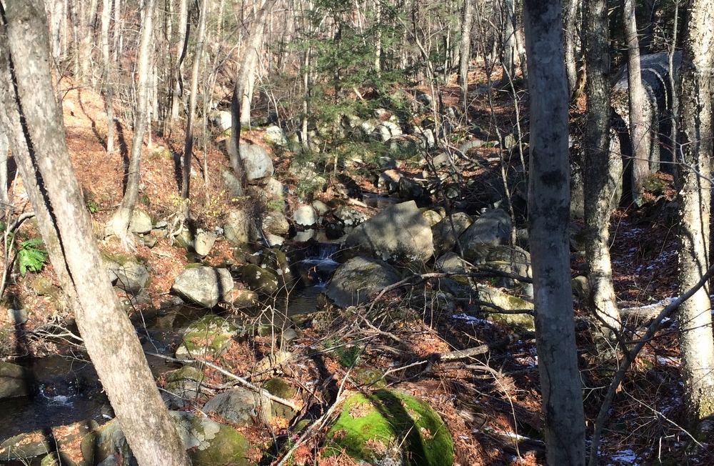
084

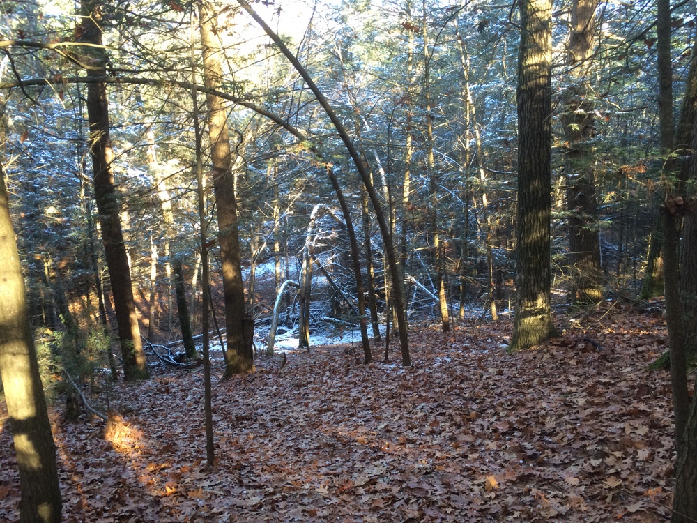
From the brook, I followed this loop up the ridge and then back down it.  I tried to capture the steep descent along the leaf-carpeted trail down into the shaded snow-filled area in the image below.  The trail was a little sketchy in a few spots, steeper, narrow, rocky and covered with leaves.  But overall it was still well-marked and not a trouble to navigate.
095

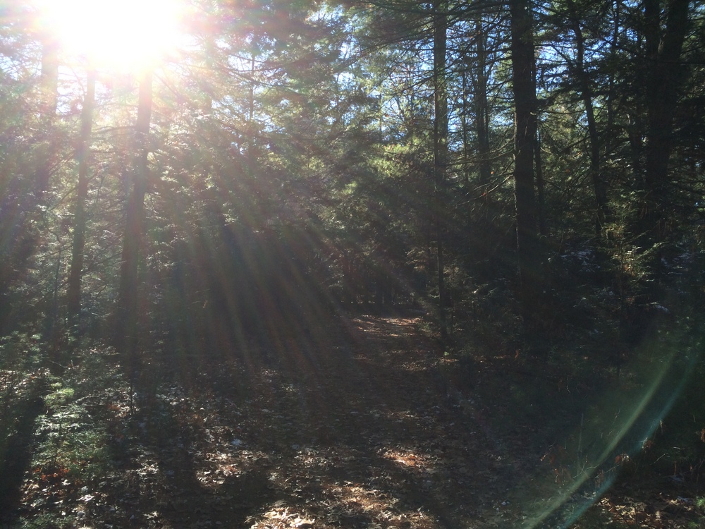
After circling both the pond and the ridge, I was left with a little time to explore some connecting trails.  Back in the more frequently-passed areas of the tract, I again started meeting families.  The sun was bright and had melted all the snow in this area.  I snapped one last picture to capture the feel of the day and the property.
097

With the clock ticking, I wrapped up the hike after 3 miles and headed back to Tree House (no samples, just growlers please…), and then to get Evie.  I enjoyed the quiet time in the woods, as I always do, but all I could think of was heading back here with Jess so she could see some of it herself.

I guess that’s a good sign, right?

I hope to get a few more hikes like this in before the snow really begins to cover the trails….