For the past two years, I’ve wanted to take a kayak or canoe along the Quinebaug River Trail between Lake Siog and the East Brimfield Reservoir. But whenever I’ve had the time, the river’s been too low, whether because of drought (last year) or just general late season low flow. But this spring has seen enough rain to keep all the nearby rivers fat and happy, which made for a great opportunity.
With a solid half-day available to me this past weekend, I got everything ready the night before, so I could roll out of bed and into the car first thing Saturday morning. We’d had a few hot days in a row but the temps had fallen overnight and it was in the upper 40s as I drove to Holland. I again cursed the low clearance and bad angles on my otherwise well-loved Mazda 3; many of the roads to parking areas for trailheads or fishing spots make me wish for something with a bit more room for error (we’ll see what my next car is). After I navigated the potholes and ruts and got to the parking area, I found a few cars and trucks already there at 7:10 AM.
I got to work unpacking the car and loading the boat with fishing equipment. I’m still getting used to my load-out. The kayak can handle a ton of cargo and so I tend to bring a ton of cargo … but sometimes it’s all a bit overwhelming. Either way, I was on the water by 7:30, after waiting a bit for some kids to finish getting their little flat-bottom boat off the ramp.
I paddled my way past a few other fishermen on the water, one of whom was fly-fishing from a rather small kayak. I was impressed with his balance and form; it’s hard enough to fly-fish standing on solid ground, but sitting in a shaky kayak is another story entirely. I was about to ask if he was having any luck when I watched him set his hook and begin fighting a small fish.
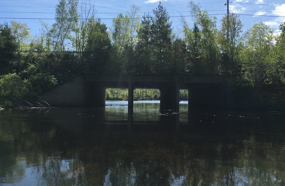
Once I cleared everybody I started periodically pausing to cast as I went. This area is very quiet with no major reads nearby. Near the Morse Road bridge I hooked into an aggressive pickerel, who shook the lure out of his mouth just as I was pulling its head out of the water. I love how pickerel attack and fight, but I’ve never been a fan of taking treble hooks out of their jaws. So having one toss the lure that close almost felt like a win, even if it was a bit disappointing.
I fished for a while on both sides of the bridge and didn’t hook into any more fish, so I kept heading downstream. I paused for a moment at the first rest area of the trail, just one mile in. I took off my heavy sweatshirt (the sun was starting to peek out and the paddling was keeping me warm) and considered changing out my terminal tackle, but decided to leave the simple spinner baits on I had been using. I probably should have taken the time to switch one of my rods to a rubber worm, but my scissors were buried somewhere in the milk crate and I was itching to keep moving. (Lesson learned; attach the scissors to the life jacket — or use a snap swivel).
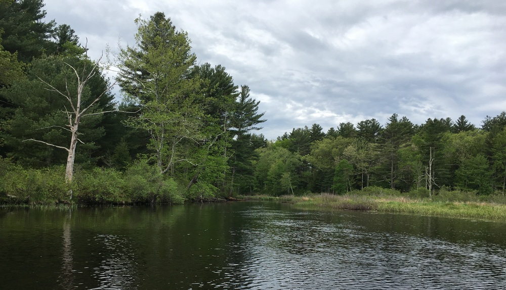
I continued downriver as the course grew much more meandering. I passed rest stops 2 and 3 (fairly close together at 2.0 and 2.4 miles downstream) without stopping, simply pausing in the boat when I grew tired and letting the current drift me slowly downstream. The peace and quiet was amazing; every once in a while I could hear a distant car but never the constant hum of traffic I hear from on the Quaboag and East Brookfield rivers. The other thing I was blown away by was the smell … so early in the season that dead pond-scum smell hadn’t really started to develop yet. The river smelled fresh and alive, and periodically as the river went past a particularly flowery tree I’d be overwhelmed by totally different spring smells. This was exactly what I needed; a quiet, peaceful excursion away from civilization where I could really sink my senses into nature for a few hours.
Of course, as I paused and drifted, I came to the realization that the current was helping me quite a bit … which meant it was going to be fighting me quite a bit on the way back. I looked at the time, made some guesses, and figured if I wanted to be out of the water by noon I had to start focusing more on the paddle and less on the fishing.
I paused frequently to take pictures and occasionally cast my line, but at this point my focus was on keeping moving. I saw several beavers, many Canada geese, more red-winged blackbirds than I could count, and lots of turtles too. I heard a wild turkey calling, watched little fish dart away from my kayak into the reeds, and let the rising sun soak me with warmth.
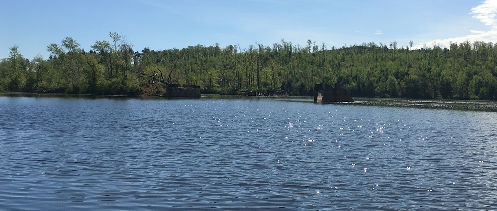
A bit after 9:30, I approached the bridge tunnel that led to the East Brimfield Reservoir. I paddled under the bridge, fished nearby for a while without any luck, and enjoyed a banana in an attempt to inject some quick energy into my tired arms. Then, I turned around. It had taken me around two hours to get here with the current helping me, and I wanted to get back in about the same time, so I knew I had to push a bit.
The current was rough at first; whether it was just the depth of the water, the peculiarity of the wind, or just my own weak muscles, I felt a little doubt about how this morning was going to turn out. But I pressed on and things got a bit easier. I paused much less frequently, as every rest meant the kayak would start to get turned around by the current (not that the current was particularly strong, but it was certainly noticeable). Forward I paddled, until I made my way back to the third rest stop, where I dragged the kayak out of the water and took a breather, eating a protein bar and measuring my progress while throwing out a few half-hearted casts with the fishing rod. Ten minutes later, I was heading back upstream.
I started to encounter many more paddlers who had started the day later than I had. There were probably twenty different people on kayaks and canoes between the rest stop and the ramp, most in groups, laughing and enjoying the beautiful day. I waved and greeted them all, happily tired and feeling accomplished.
I made it back just before noon, and was back on the road, headed home and back to civilization. I’d definitely be up for taking this trip again, though if I was going to do it round trip I’d try and reserve a bit more time for it.
There’s something calming and almost meditative about solo paddling for a few hours, with nobody to talk to, nobody to listen to, and no routine except what you set as you measure how fast you feel you need to go. It appeals to me in the same way that hiking does, with the added benefit of being able to change up the activity with fishing. I’m already trying to figure out my next chance to get on the water.


