2017 Hut Hike – Day One

(Some photos on these posts are courtesy my friends Bryan and Topher and posted with their permission.  This series of posts will be fairly photo-heavy.)

Getting Started – October 10

I started the day early Tuesday, out the door by 5:30 AM, heading east and then north. In the back of my car was a backpack, a pair of trekking poles, a pair of boots, and a change of clothes for Friday evening. On the seat next to me was a printout of directions to the parking lot of the Mt. Washington Cog Railway (in case my GPS crapped out or something), where I was meeting my fellow hikers, two friends from work (Bryan and Topher) and a friend of theirs from outside the office (Jeremy).

Once I cleared out of MA and into NH, the reality of the situation sank in; I was a relative novice, going into the mountains for four days with three experienced hikers. I’d invested a lot into my fitness over the few months before the hike, but I was still relatively out of shape, overweight, and had no idea what I was really in for. They’d all done this annually for the past five years, I’d admired their stories from afar until convincing myself I could handle it this time around.

Nervousness and excitement competed for top billing. I drank coffee and ate high-carb breakfast snacks from various rest stops on the way. As the miles rolled by, the foliage changed more drastically, into deep golden yellows and rich reds.

I finally met my friends, and we left my car at the base of the Ammonoosuc Ravine trail. I filled out an envelope with contact information and expected return date, stuffed it and a 20-dollar bill in the lockbox, and abandoned my car. The four of us took a second car the 17 miles to the Garfield Trail trailhead, and parked there. A little stretching, a lot of laughing, and we were ready to begin our journey.

The plan? Four days in the White Mountains, three nights in AMC Huts along the way. The huts provide dinner and breakfast, so we just had lunch and snacks to worry about. They also provide bunks to sleep in, and blankets, meaning we could get away with minimal sleeping gear (I brought a sheet sewn into a crude approximation of a sleeping bag, to protect me from both the cold plastic mattress pads and the questionably clean wool blankets).

We’d bond over the physical activity and relative isolation, trade stories, admire nature, think deep thoughts, drink whiskey under the stars, stumble out of the woods on Friday, change into clean clothes, find a place to eat a big steak dinner and look back on our accomplishments as true mountain men.

Or, you know, die trying.

And that’s … almost how it went down.

Day One – October 10

(I’ll supply an elevation profile for each day, courtesy GPS data from Bryan and processing done by Google Earth.)

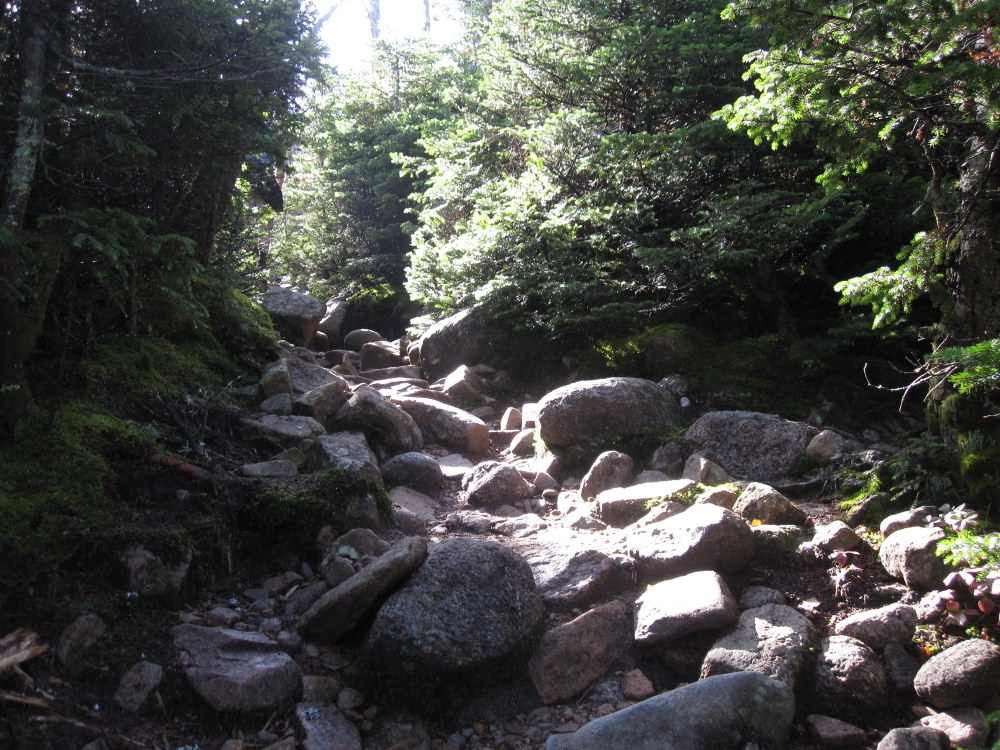
We started by hiking along the Garfield Trail, a five mile trail that climbs a hair over 3000 feet to the summit of Mt. Garfield (the last 0.2 miles is an extension along the Garfield Ridge Trail that continues to the top).  The trail is a steady uphill through the forest, giving some excellent photo opportunities.

The weather was warm (upper 60s) and humid, and with the exertion of the hike we were all feeling a bit sweaty before too long.
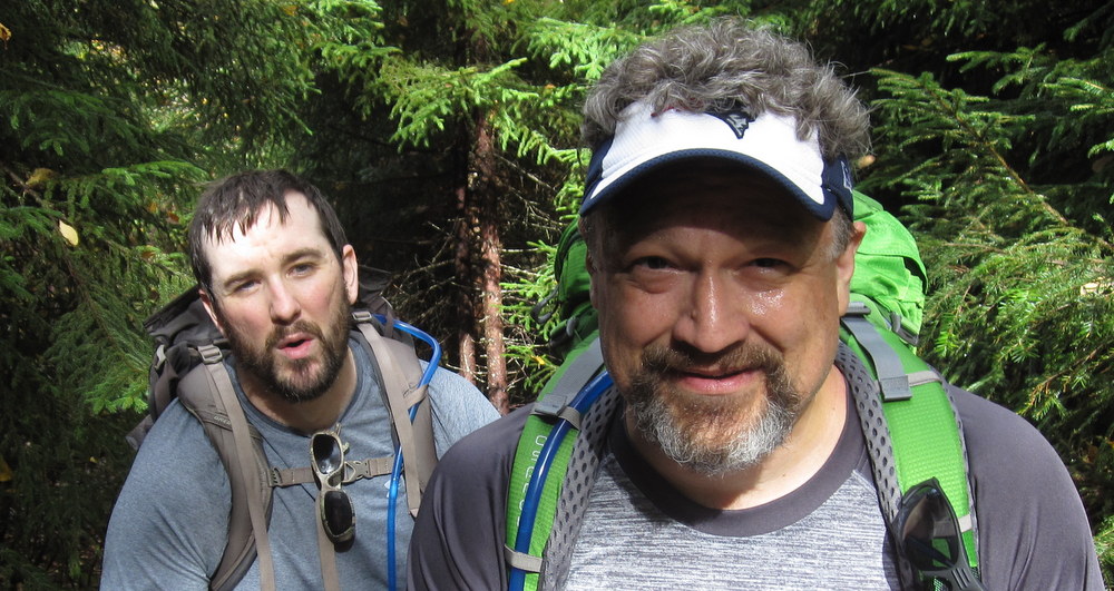
It took us about four hours (10:30 AM to 2:30 PM) to cover the five miles, with a few breaks along the way (this was how long we had planned it would take, though we started half an hour late). We dropped our packs at the trail intersection before the summit and enjoyed an easier climb to the top.

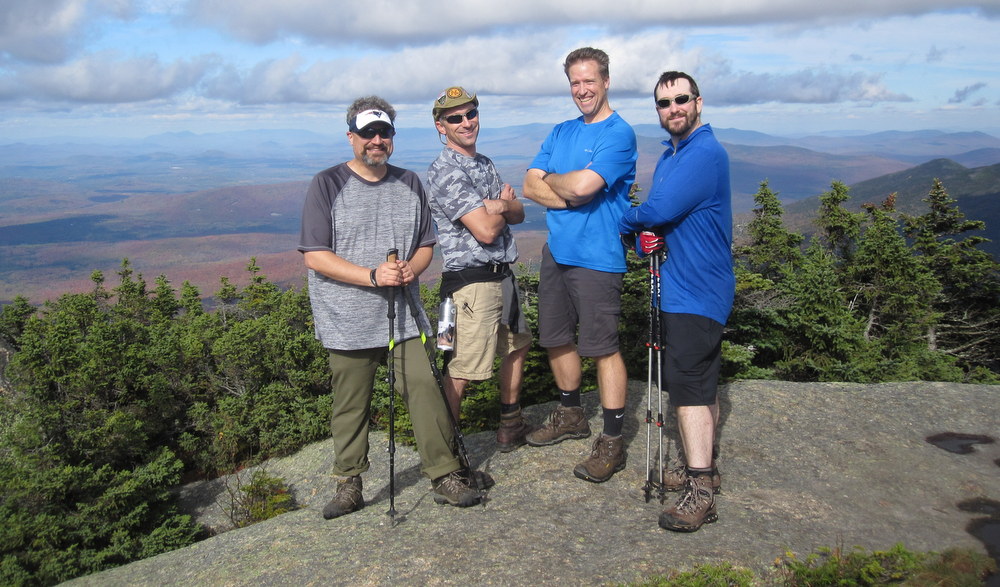
The views from the old fire tower foundation were amazing; the mountains spread out in all directions and the clouds cast big shadows on the valleys below. I felt accomplished and tired, five miles of uphill hiking with some fairly steep sections was enough to remind these bones of their age. We took a healthy break, admired the scenery, talked with other hikers, and generally enjoyed the fruits of our labors.

But, the day was only halfway through. I’m not sure what to blame for the remainder of the day; perhaps I hadn’t hydrated or eaten correctly (the lack of protein in my breakfast choices, maybe). Perhaps I just needed to speak up and take more breaks. Or, perhaps, I wasn’t quite ready for this hike at the fitness level I’ve achieved. Either way, it was a real challenge.
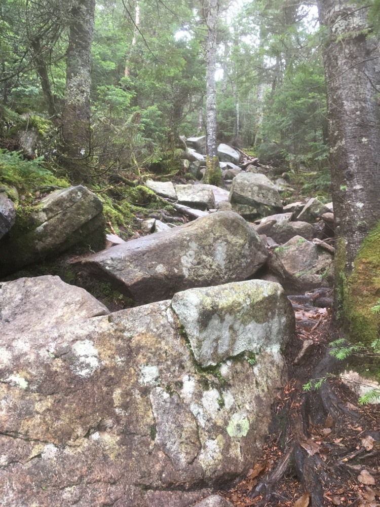
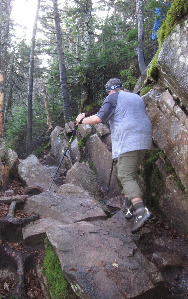
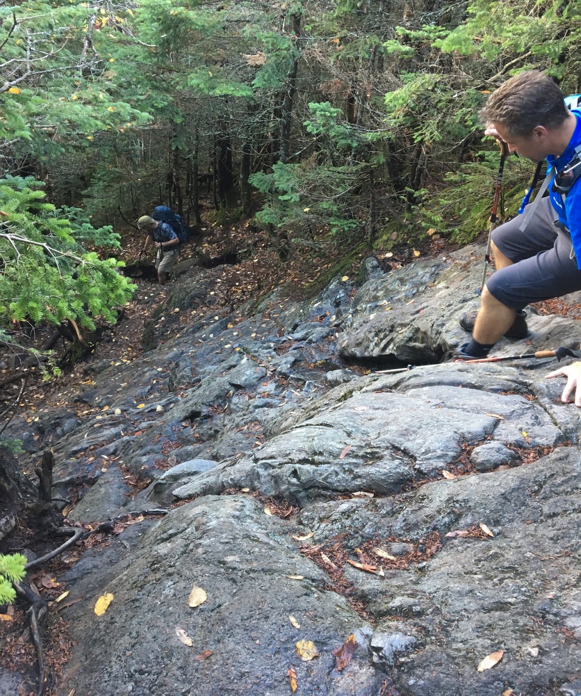
Back at the intersection where our packs were, a sign told us we had 2.9 miles to go to reach Galehead Hut, along the Garfield Ridge Trail. This was without a doubt the longest three mile hike of my life. The Garfield Ridge Trail starts with a steep descent (around 1,000 feet in a half mile) which took a long time due to the steep conditions and my lack of practice with heavy loads and rocky trails.

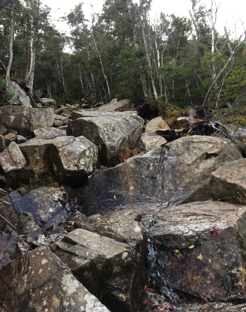
What made it more challenging were the times when you could see the hut in the distance, only to realize you had to go down and then back up multiple times to reach it. We pressed on, climbing back up and back down multiple times, hiking along a rocky trail that at times was a waterfall. Each difficult stretch was something I could have handled in isolation, but the compounded challenge, combined with the unfamiliarity of hiking with a big 30 pound pack on my back, made for one of toughest physical challenges of my adult life.

Unlike the first half of the day, it felt like I was boxing way above my weight class. Exhaustion began to pile up, and my mood soured a bit.

The final half mile approach to Galehead is steep (1800 feet uphill, in about a half mile), and my body was completely drained. I hit the proverbial wall, the “bonk” that distance runners talk about. Every step was painful and tiring, and I was acutely aware of how much I was slowing the pace of my friends (even so, I paused to take in the beauty of the valley view seen below). I felt frustrated and broken and was scared for how the remainder of the trip was going to go. Every day, mile-wise, was going to be close to this long. Some had the potential to be much longer, depending on which trails we took.

Bryan and Jeremy hiked ahead, to check in at the hut and make sure they held dinner in case it took me too long, leaving Topher to accompany me. With about a quarter mile to go, he took my pack from me. I had trouble letting him do this, but he insisted he could handle it for the short remaining hike. Finally, Jeremy returned to us (having left his pack at the hut), and took my pack. We pushed through the remaining couple hundred yards and were rewarded with the beatiful sight of Galehead hut.

I had no appetite, no desire to celebrate the day. I wanted a nap, but instead I went through the motions with my friends, ate delicious but unwanted food (no fault of the excellent Hut Croo, who made a delicious non-dairy vegetable and black bean burrito which would have been welcome at almost any other time), drank a ton of water and some decaf coffee, and a couple hours later finally began to feel human again. Sipping whiskey in the twilight, we had an honest discussion about the remainder of the trip. I confessed that if there were three more days like this one, I would probably not make it. We looked over topographic maps, consulted notes, and concluded that while there were parts of every remaining day which would be as difficult as anything we did the first day, none of the days would have the cumulative effect we had just felt. Not only that, each new day would start bright and early instead of at 10:30 in the morning after a three and a half hour drive.

So, I was going to give it my best, and they were going to hike alongside me. I knew I was slowing them down and forcing them away from optional parts of the trip which would have been more challenging and rewarding for them, but they wanted to keep the hike inclusive. I appreciated it more than they probably know.

As the kind of darkness you only get in the wilderness fell, we sat outside on the porch, admired the Milky Way, and then went to bed early. We had a bunk room to ourselves (8 bunks), and we did our best to muffle each others’ snores with ear plugs.

I slept fitfully at first, my mind replaying the entirety of the day’s physical and mental effort in half-awake dreams, tossing and turning and getting up for bathroom breaks repeatedly until a bit after midnight. Then, finally, I fell into a deep sleep, until a little after 5 AM. I woke up, stepped outside, and watched the lightening sky. I was cautiously optimistic.

A new day awaited.

Plimpton Forest (and a bit more)

Some news to start: next month I’m heading on a three night, four day hike through the White Mountains of New Hampshire, staying overnights at the High Huts of the White Mountains with some friends from work. So I’ve been gearing up and doing practice hikes as often as I can.  I have yet to do a real tough mountain hike (I plan to hit up Wachusett before the hike, but am not sure when I’ll make it happen), but this Labor Day I wanted to hike several days in my hiking boots to break them in and make sure I shook out any issues.

I had Friday off, so I started with a solo hike on a piece of property newly acquired by the town of Sturbridge, the Plimpton Community Forest.  The forest was a big win for open space advocates in the area, as numerous sources of money had to combine to make up enough to buy the land rather than letting it be developed.  It’s located next door to Hamilton Rod & Gun, where I’m a member (the club and its members were instrumental in getting the land protected), and also connects to two other open spaces (Wells State Park and the Wolf Swamp WMA).  It creates (or, perhaps, preserves) a continuous tract of open land, great for outdoor recreation as well as wildlife habitat preservation.

There are no trail maps for the property yet, but I knew that volunteers had marked some trails two weeks prior, so I went in search of those.  There are two trails on the property right now, one marked with red blazes and one with yellow.  The red trail starts up a fairly steep hill, and is obviously along an old road in some spots as it’s fairly wide.

The trail goes through some sections which have been logged but also trails along some beautiful old stone walls.

There are also some muddy parts, which I’m guessing will be quite marshy in wetter weather.

The red trail was clearly marked and easy to follow, and it was obvious when it ended. Signs marked the property boundary, and according to my GPS I was close to a stream crossing which would have put me on private property.  I followed the red trail back and then followed the fork which was the yellow trail.

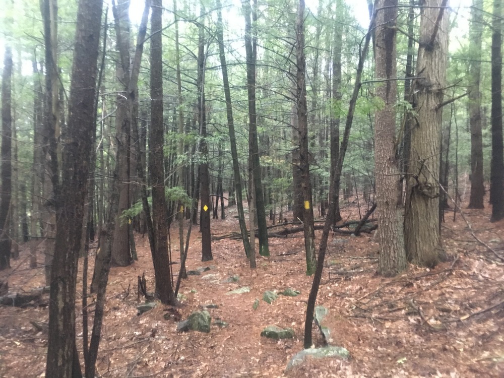
The yellow trail was much narrower and windier, with some slightly challenging terrain in spots.

The yellow trail goes through some open areas which are beautiful and peaceful (there were no real sounds of neighboring roads, a nice treat for such a close-by trail).  I quite liked the lone boulder seen below.

The trail started to narrow significantly and eventually the markers disappeared. There was no sign that the trail had ended, but there were no more blazes and no path to follow. I believe there is more work to be done here.

Doing both trails added up to about three miles of peaceful hiking.

But … that wasn’t enough.

The next day, Jessica and I took a short hike through the woods at the Rock House Reservation, a favorite of ours for many years.

And the day after that, in fairly steady rain, I took a solo hike through Opacum Woods, a beautiful property I’ve explored plenty of times.  It offers a variety of terrain types, interesting things to look at, and the trails loop instead of being out-and-backs.  The only complaint I have about Opacum is that it’s directly next door to one of the busiest interchanges in the state (I84 + I90) and the highway noise is constant.  As the trails here are fairly simple, I won’t narrate the whole hike, but I did the full loop and the highlights are below.

(Note, my waterproof hiking boots were fine in the rain, but my water-“resistant” jacket failed miserably.)

And as if that was not enough, after three straight days of hiking I went for a fourth day of outdoor activities with a long kayak trip with a friend.  We hit Quaboag Pond from the south and fought the wind and even did a bit of fishing.

Four days off from work, and four days of vigorous outdoor activity.  I can’t complain.  Even if I wasn’t training for a big hike next month, I’d be enjoying this, but knowing it’s getting me ready for this adventure, it’s even more rewarding.

Midstate Trail – Spencer (Solo)

On the first Sunday of the New Year, Evie and Jess made a last-minute decision to cheer on a friend at a gymnastics event in Western MA, and I made a last-minute decision to revisit the Sibley Farm / Burncoat Pond property with the intent of walking a portion of the Midstate Trail.  I’d hiked here with Jess twice before (1, 2) and both times we had mostly ignored the Midstate Trail.  Looking at the map, I realized I probably had enough time to hike the trail from the parking area up to Route 9 and back.

First off, let me again say how much I love this property.  Miles of trails on different terrain, fairly close to home and major roads, yet quiet once you’re out there, with wildlife and ponds to admire.  Take a look at the awesome map they have at the trailhead.

008

My route this day would follow the bottom trail until it reached the White Oak Trail, which I would take up to the Midstate, which I would follow up to Route 9.  On my trip back, I would stay on the Midstate back to the parking area.

Our first real snow of the season was still fresh on the ground, and was coated in a bit of ice.  I was glad for my walking stick (and in fact wished I had two at times), and I often had to tread carefully to avoid falling.

010

At first, the trails showed recent activity; boot treads and dog footprints mostly.  But the woods were quiet; I only met a couple other people despite a parking lot full of cars (again, the benefit of a large property with many trails).  In the pictures below you can see the “tags” they use for trail markers on this property, which nicely stand out in ways painted blazes sometimes don’t.

013

017

I finally found my way onto the Midstate trail, and headed North.  It was only a bit more than a mile to the road but it was not easy going due to the snow and ice.  My legs were already feeling the pressure.

024

026

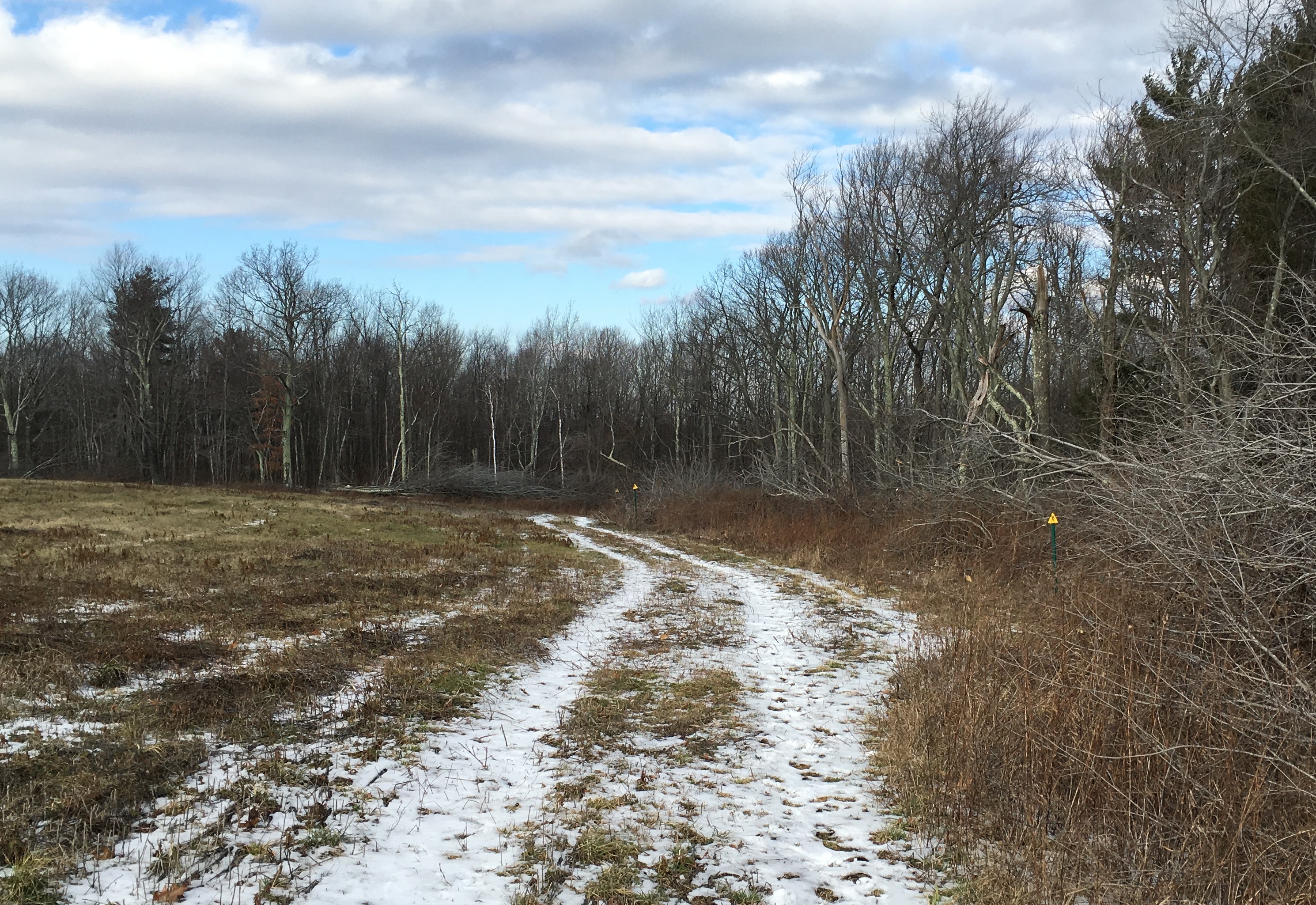
The trail overlaps with the trails on this property at a few points, but still maintains its yellow triangle blazes.  Finding the trail was never difficult. Below you can see two yellow blazes and a blue one, for the same trail.  By this point, as you can see, the signs of human traffic had lessened significantly.

029

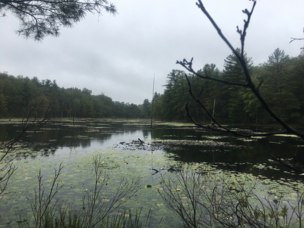
Part of what I like so much about this property is Burncoat Pond, and the beaver ponds and marsh areas that surround it.  There are numerous viewing points out to the water.  It was nice to see the water starting to freeze as the property transitioned to winter.

032

040

As the trail winds through the wetlands, there are a few areas where you have to travel on bridges to keep out of the muck (or the ice, in this case).  These were in excellent shape, having only recently been replaced (according to the fine folks on the Midstate Trail Facebook Group).

044

046

Again, human traffic on the trail was significantly less in this area as compared to closer to the trailhead.

049

However, animal footprints were becoming more common.  I saw several sets of deer and turkey tracks as well as the usual squirrel tracks. Below you can see some prints as well as what may be like prints from someone wearing crampons (or snowshoes?).

050

For a while the trail here passes by some private property with many No Trespassing signs on it.  It includes a massive field with No Hunting signs posted periodically — I saw many deer trails headed into this field as well as the property owner’s tree stand in one corner.  I imagine this family has a full freezer every year.

I was quickly approaching Route 9, though.  The trail here overlaps with Polar Springs Rd, and there is some roadside parking for those who want to hit the trail starting here.  There was a bench here and an old mostly ruined structure.

053

I walked out to Polar Springs Rd and out to Route 9, before turning around.

061

The trip back was mostly the same as the trip out, though my legs were much more tired.  I hadn’t been on a serious hike in months and I was feeling it.

There were a couple different spots to see as I took a slightly different path back than I had out.

074

At the end, I had done four miles in two hours, and my legs were complaining loudly.  But it was a great hike and covered a piece of trail I’ve always wanted to explore.

Some day I want to cover the entire Midstate Trail.  Perhaps some more point explorations of it are in order.

Grand Trunk Trail to East Brimfield Dam – Sturbridge

It seems a recurring theme that we don’t have as much time to explore the trails on our Saturdays as we used to. Real life conspires to sap away even our protected time.  And so last weekend we again found ourselves looking for a close hike which wouldn’t take up too much of our time.

We ended up driving towards one trail and stopping at another; we saw a parking area on Holland Road in Sturbridge with a Friends of Sturbridge Trails sign on it, and decided to see what it was.  It turns out, it’s a somewhat new extension of the existing Grand Trunk Trail.  This section walks along the Quineboag River to the East Brimfield Dam, and will eventually connect into the Brimfield section of the trail.

004

The trail is also labeled as the Trolley Line trail, or similar wordings.  There were two different rail lines through this section, the uncompleted “Grand Trunk” line and a functional trolley line.

009

The trail goes along the river quite a bit and might provide a nice way down to do some fly fishing (in fact, we saw an angler with waders on close to the trailhead).

019

We paused at a lookout and posed for a snapshot (as we often do).020

The trail continued along the river for a ways and eventually exited on the Army Corps of Engineers property for the East Brimfield Lake.  We’ve explored this dam area many times, including a couple fishing trips, so it wasn’t overall new to us.

029

023

However, standing atop the dam, we saw a path down below which crossed the river and clearly explored a little bit of the property we hadn’t been to before.

027

We walked down this way and were rewarded by the sight of a blue heron perched at the water’s edge looking for a meal.

034

We walked a bit more along the water on this little path, and took in the fall landscape with the soothing sound of the water nearby.035

036

It was a shorter walk than we had planned, because the map showed trail portions that weren’t yet complete.  Once the trail connects fully it’ll be a great showpiece for this section of the state.  For now, we can explore it bit by bit.

Rock House Reservation – West Brookfield

I last wrote about Rock House in November of 2014.  On that day, we went for a long hike in the rain.  This time around, it was a shorter hike, but the weather was much more pleasant.

I started the day by pitching in at a town cleanup of a vacant lot, and spent several hours doing the kind of physical labor I went into engineering explicitly to avoid.  So while we still wanted to hike, I wanted something a little less taxing.  We picked Rock House because we know the trails well (map here), it was close, and we knew we could do a shorter loop and still get some fall scenery in.

We started by hiking up the hill on the red “inner loop” trail towards Carter Pond.

019

There we paused and took pictures of the stunning foliage reflected in the still water.

020

027

From there, we picked up the Outer Loop trail and took it around the property.  We’ve done these trails several times in the past so it was a relaxing hike, with frequent pauses to admire the foliage.  As is always the case on our Saturdate hikes, it gave us a chance to catch up on topics both serious and frivolous without the impatient ears of a seven-year-old.

033

038

It was a short walk in the woods, but a much-needed escape from the hectic pace of life.